The Larapinta Trail is a real trekking dream. 223 km through the West MacDonnell Ranges of Central Australia. From the sheltered gorges of Ormiston and Serpentine to the views from Brinkley Bluff and Razorback Ridge, every step of this walk is immersed in the stunning landscape of the Outback. Whether you’re walking in creek beds, seeing Black-footed rock wallabies or taking in the views of the Heavitree and MacDonnell Ranges, this is a wilderness experience.
The End of the Larapinta Trail
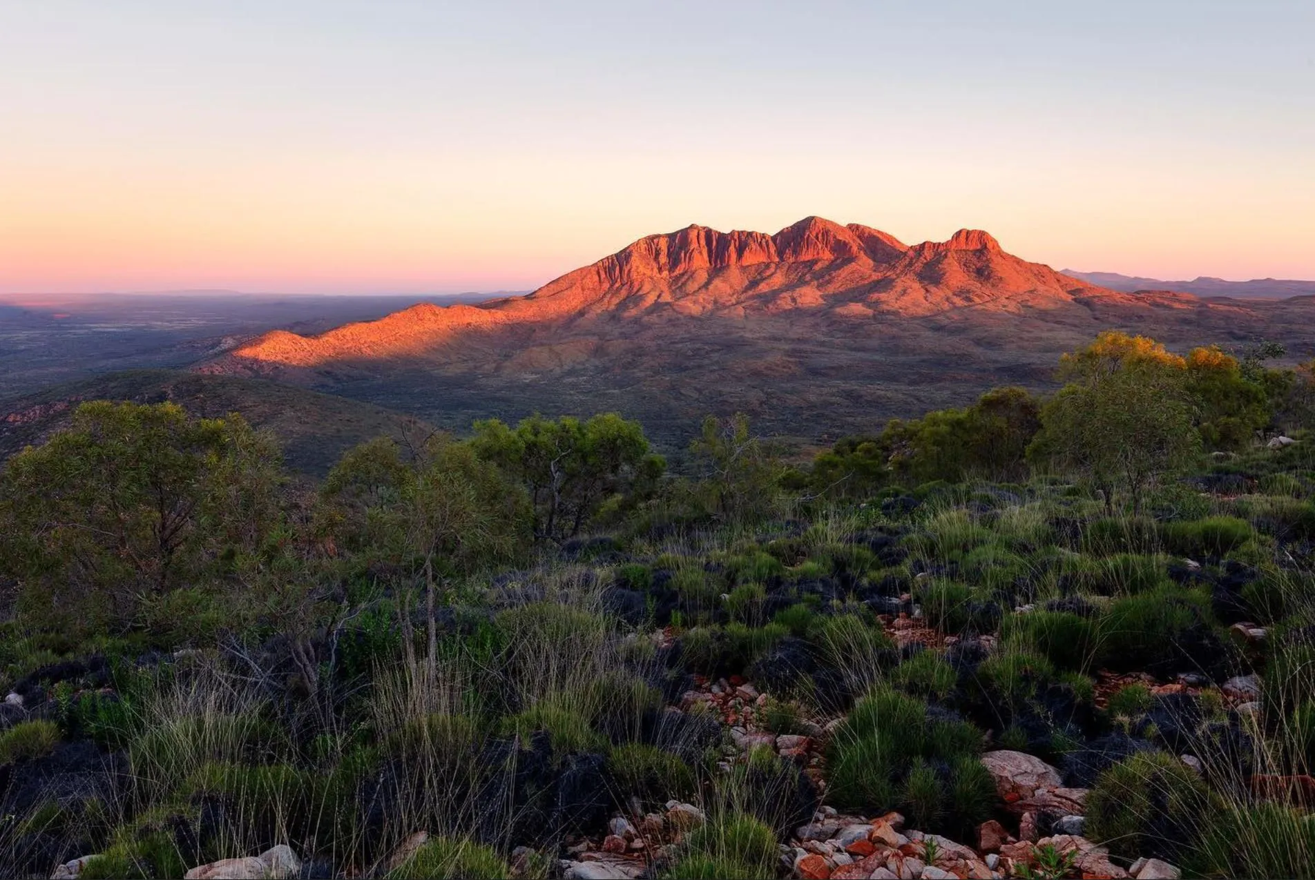
At 1,380 metres high, Mount Sonder is the official end of the Larapinta Trail. The fourth highest peak in the Northern Territory, the summit offers views over the whole desert. The climb to the top is challenging and requires a high level of fitness and preparation as the terrain is steep and rocky with loose rock, making for a tough but rewarding walk.
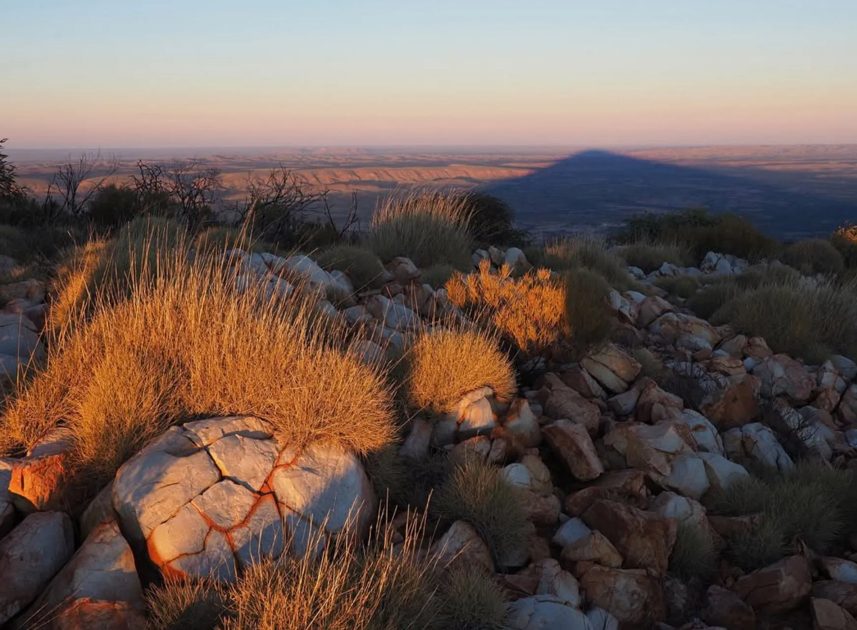
Reaching the top of Mount Sonder gives you a real sense of achievement. From up here, you can see the whole trail, including Glen Helen Gorge, Redbank Gorge and the Finke River. The last bit of the walk to the top is rocky and uneven with views of the surrounding mountain ridges, Euro Ridge and the Chewings Range. Whether you start early for sunrise or late for sunset, the view from Mount Sonder is unforgettable.
What to Expect
The official end of the Larapinta Trail at Mount Sonder is the culmination of everything that makes the trail so good. As you approach, you’ll be surrounded by a desert landscape of rocky gorges and mountains stretching out to the horizon. The journey through Jay Creek, Hugh Gorge and Spencer Gorge gets you to this final section where you can reflect on all the diverse environments you’ve been through. The trail winds through some of the most remote and rugged country in Outback Australia, through creek beds, rocky gullies and even sections of sheltered gorges like Ellery Creek Big Hole.
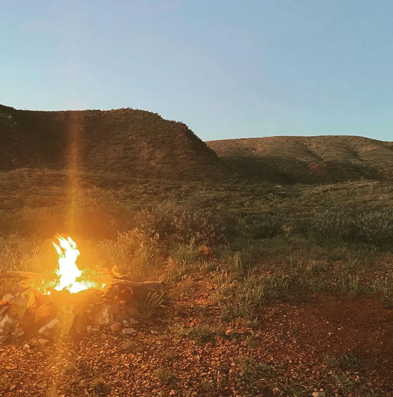
At the end the physical challenges of the trail, the hard work and bushwalking are replaced with serenity as you take in the views. This is where many hikers rest, camp or just take a moment to appreciate the outback wilderness they’ve just traversed. Summiting Mount Sonder is an achievement that stays with you long after the journey is over.
How to Get Back
Getting back from the Larapinta Trail’s End is relatively straightforward but requires some planning. Most hikers arrange transport via shuttle services or 4WD vehicles that will drive you from the trailhead near Mount Sonder back to Alice Springs, where the nearest caravan park, boutique business and services are.
Shuttle services need to be booked in advance and provide a comfortable closed vehicle for the return journey.
For independent hikers or those who want more flexibility, vehicle support is an option. If you’re carrying excess luggage or camping gear, having a vehicle drop-off or pick-up service for the return journey can make the hike more comfortable. The area around Serpentine Chalet Dam or Serpentine Chalet is often used as a meeting point for transport.
Remember to plan this return journey well in advance as the remote ridges and terrain of the MacDonnell Ranges are not serviced by public transport. Check the trail conditions and confirm your return transport the day before you leave.
Best Time to Hike the Larapinta Trail
The best time to hike the Larapinta Trail is from April to October, when the weather is better. Winter is cool, and this is the best time to hike. Summer is too hot, and the trail is dangerous and difficult. But the desert climate still requires cold weather preparation, especially during winter treks.
Make sure to bring the right gear, a weighted day pack, cold weather clothes for the evening, and a water tank for drinking water. The level of bushwalking required to tackle the trail is physically demanding, so independent hikers should assess their fitness level before they start. Camp sites like Mulga Camp and Rocky Bar Gap are safe places to rest, but always check the weather forecast and trail conditions before you start.
Whether you do the whole trail or a section, the Larapinta Trail is an experience you’ll never forget. From the deep red of the desert landscape to the thrilling climb up Razorback Ridge, there’s something for every kind of hiker. So pack your day pack, adjust your itinerary if needed and get ready for an adventure of a lifetime in one of Australia’s most remote and beautiful landscapes.
FAQ
How long does it take to complete the Larapinta Trail?
The Larapinta Trail takes 12 to 14 days to complete, depending on your pace. You can break the trail into sections, like Ormiston Gorge or Jay Creek, for a day walk.
What are the trail conditions like?
The trail is rocky, loose rock, uneven terrain and sometimes steep. Sections like Rocky Gully, Millers Flat and Spencer Gorge require a good level of fitness. Some parts are challenging and strenuous, so preparation is key.
What should I bring on the Larapinta Trail?
Essentials are a lightweight tent, day pack, camping gear, clean water, food drop boxes and emergency comms. You’ll also need a good map or GPS and extra layers for cold weather in the evening.
How do I get water along the trail?
Water is available at some campsites, Glen Helen Gorge and Serpentine Chalet Dam. But hikers should carry enough water for each day, especially on remote ridges where water is scarce.
Can I hike the Larapinta Trail with a guide?
Yes, experienced guides are available and will give you insight into the history, flora and fauna of the area. They’ll also help with navigation of the trail so you have a safe wilderness adventure.